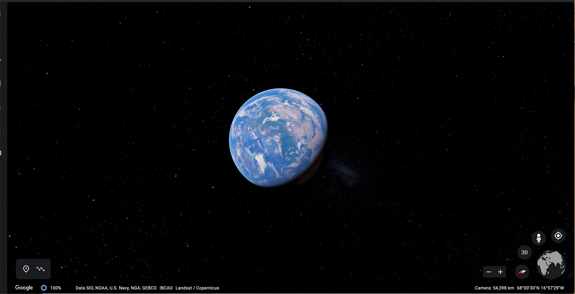
Google Earth: The World’s Most Detailed Globe
Having trouble explaining where is Iran? Iceland? Korea? China? This 3-D movable globe can help, showing not only the location of continents, countries, and cites but also streets and rivers and lakes.
¿Tiene problemas para explicar dónde está Irán? ¿Islandia? ¿Corea? ¿China? Este globo móvil puede ayudar, mostrando no solo la ubicación de continentes, países y ciudades, sino también calles, ríos y lagos..
Google Earth is a computer program that maps the Earth by combining satellite images, aerial photography, and GIS data onto a 3D globe, allowing us to see cities, streets, mountains, rivers, and other parts of our world from various angles.
Google Earth es un programa de computadora que mapea le tierra combinando imágenes de satélite, fotografía aérea y datas SIG en un globo 3D, lo que nos permite ver ciudades, calles, montañas, ríos y otras partes de nuestro mundo desde varios ángulos.
You will be currently running an experimental version of Google Earth.
Actualmente ejecutará una versión experimental de Google Earth.
Click/Haga clic here/aquí.